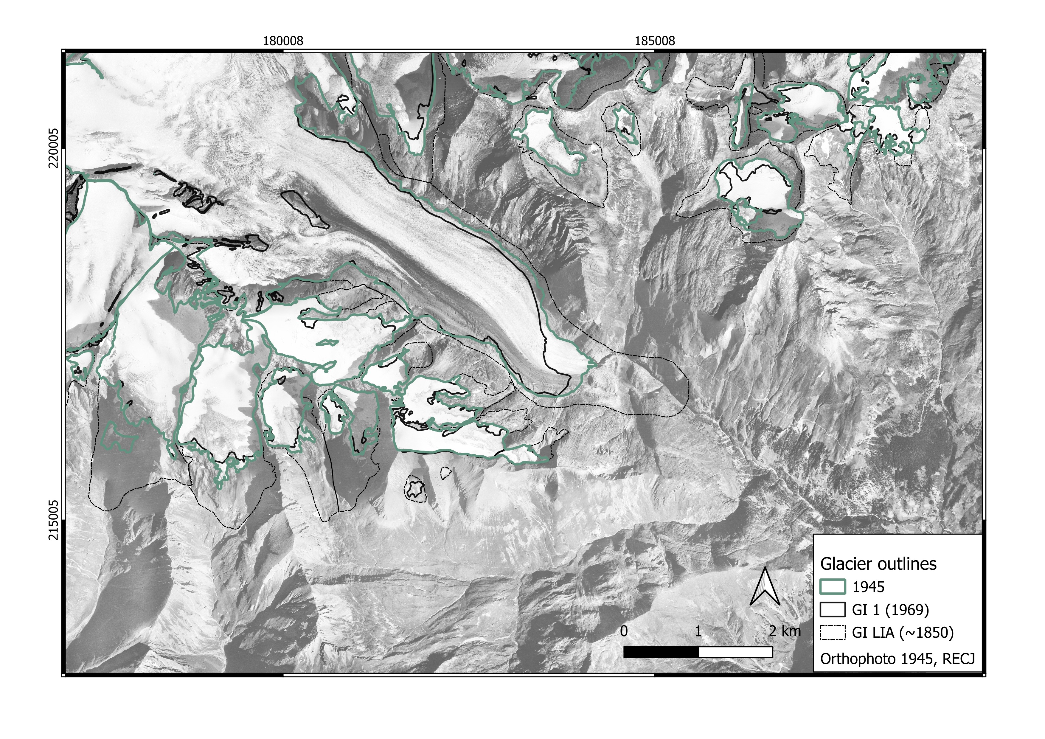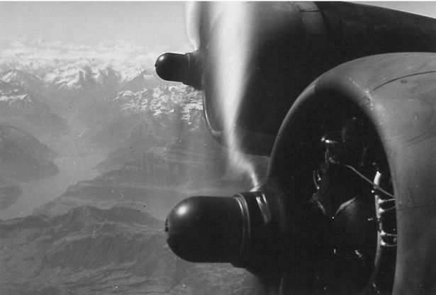
Only few weeks after the end of the WWII, US Army B-17 bombers converted for mapping flew systematic survey lines over entire Europe, covering Austria, too. The flights were part of “Operation Project Casey Jones”, which photographed roughly five million square kilometers of Europe and North Africa between 1945 and 1946. The result is an early, complete snapshot of the Alps at a unique moment in time. The original negatives have long rested largely unused in archives. Our project recovers these images, digitizes and georeferences them, and uses modern photogrammetry to derive digital elevation models and orthophotos of the post-war Austrian Alps. Compared with today’s conditions, they reveal how mountain regions have changed over the past 80 years. This baseline is particularly valuable for glacier research because it falls between the Little Ice Age maximum and the first systematic national aerial surveys. All processed data will be made openly available.
Alpine glaciers have been retreating at an accelerating rate since the Little Ice Age. Systematic, larger-scale glacier monitoring in Austria was systematized in the compilations of national glacier inventories in 1969, 1998, 2006, 2015 and 2023. The mid-20th-century, however, remains largely undocumented. The 1945 imagery gives a rare opportunity to refine historical tions of glacier change and falls in a warm period, making it a valuable early time slice for a glacier-climate analysis.
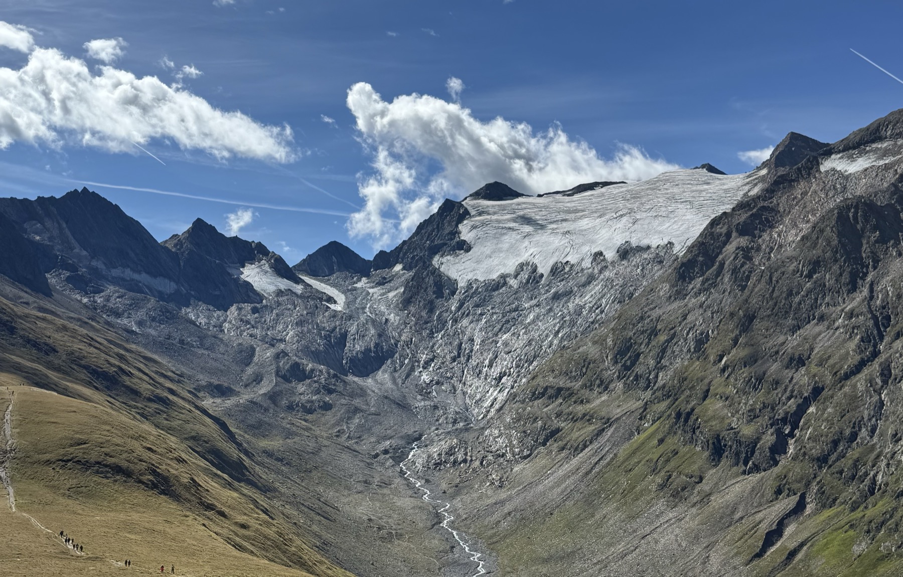
Rotmoosferner in the Ötztaler Alps, taken by Larissa von Römer, 2026
Reconstructing Glacier Evolution
By producing and evaluating digital elevation models and orthophotos derived from historical imagery of Austrian alpine areas, we aim to reconstruct glacier extent and surface topography for 1945. This work fills a critical historical gap between the Little Ice Age maximum and the first national glacier inventory 1969. By providing empirical evidence of glacier geometries during this transitional period, we enable precise delineation of glacier outlines, extend time series of glacier change, and contextualize long-term climate-glacier dynamics across historical phases. To increase temporal resolution and coverage even further, we reconstruct glacier area and volume from multi-source historical datasets, such as topographic maps and terrestrial oblique photographs, as presented in von Römer et al. (2026).
Broader environmental applications
This research holds broader relevance for assessing water resource security in the Eastern Alps, where glacial runoff remains a key yet changing contributor to summer discharge, particularly under increased frequency of heatwaves. By linking glacier mass balance fluctuations more clearly to historical climate records, this project will enhance the robustness of long-term hydrological projections. Beyond glaciology, the dataset also holds significant value for broader regional environmental research, including studies of vegetation change, sediment dynamics and lake formation by refining knowledge on post-glacial landscape evolution.
Model Integration & Future Projections
Within this project, we will focus on integrating these empirical reconstructions into past and future glacier evolution models. Our historical dataset serves as calibration and validation data, leading to reduced uncertainty of past glacier evolution and projections of future glacier change. Overall, this research combines remote sensing, digital photogrammetry, historical data analysis and glaciological modeling within a geospatial framework.
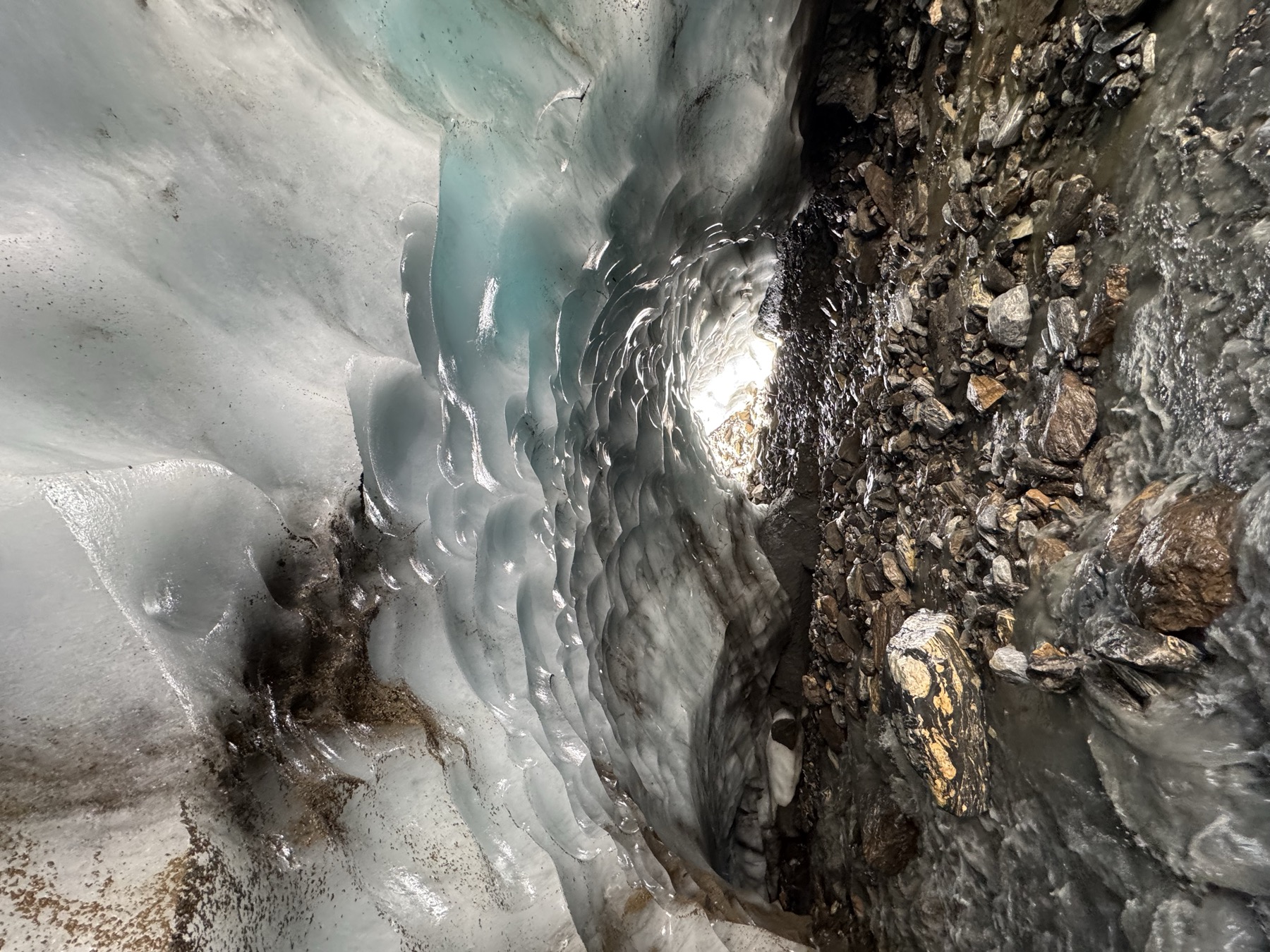
Gaissbergferner in the Ötztaler Alps, taken by Larissa von Römer, 2026
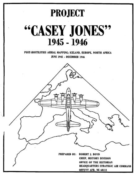 Operation Casey Jones began in May 1945, right after the end of WWII, and ended in December 1946. The US Army equipped aircrafts with survey cameras and flew systematic lines from Iceland to North Africa, including Austria, to map postwar-Europe, capturing stereo black-and-white aerial imagery at a scale of 1:40,000, taken between July and September 1945. The photographs were made for military and mapping purposes and stayed largely unused in US archives for decades. Today, these photographs give us a rare view of Austria's glaciers and mountain landscapes in 1945, a time with very few records on glacier change.